Urban science as a software
Martin Fleischmann
2025-04-15
Who’s this guy
researcher
developer
Developing reproducible, computational urban science
Open by default
Use (and nurture) the existing OSS infrastructure
Treat research artifacts as OSS from Day 1
Only “stay closed” when there is a good reason
Reproducible research
- Transparent
- Accessible
- Transferrable
Show me
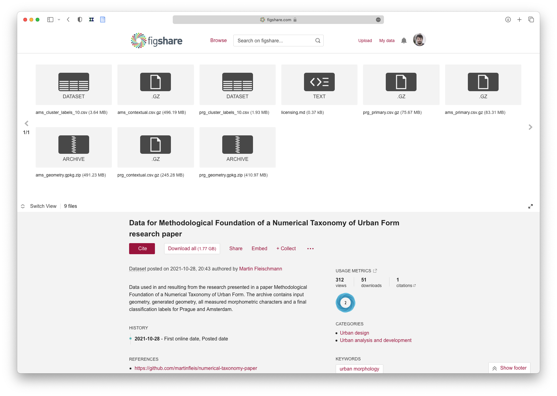
Methodological foundation of a numerical taxonomy of urban form
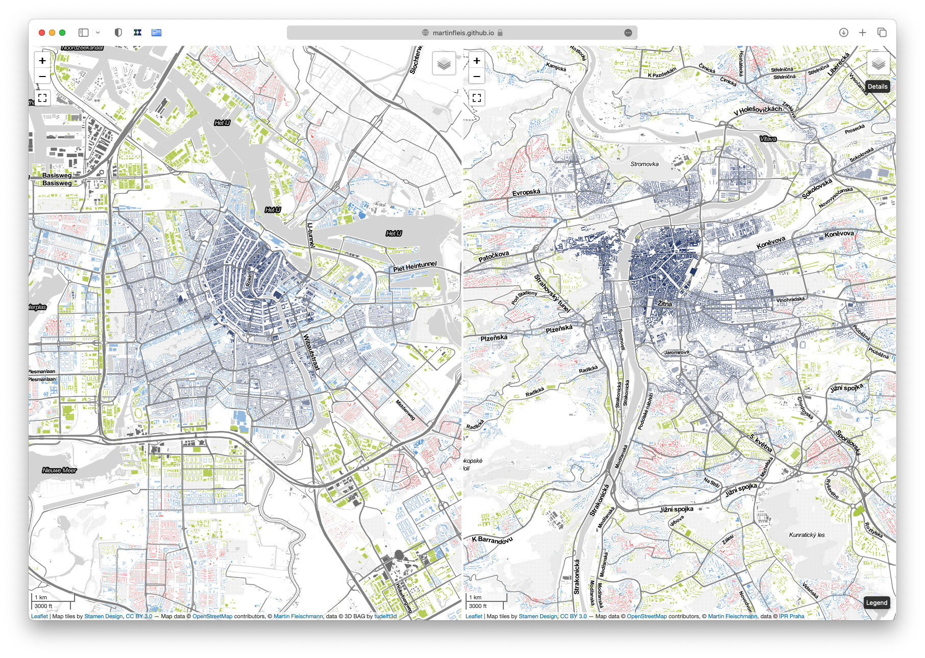
I knew what needs to be done but there were no tools to do it. So, I created my own.
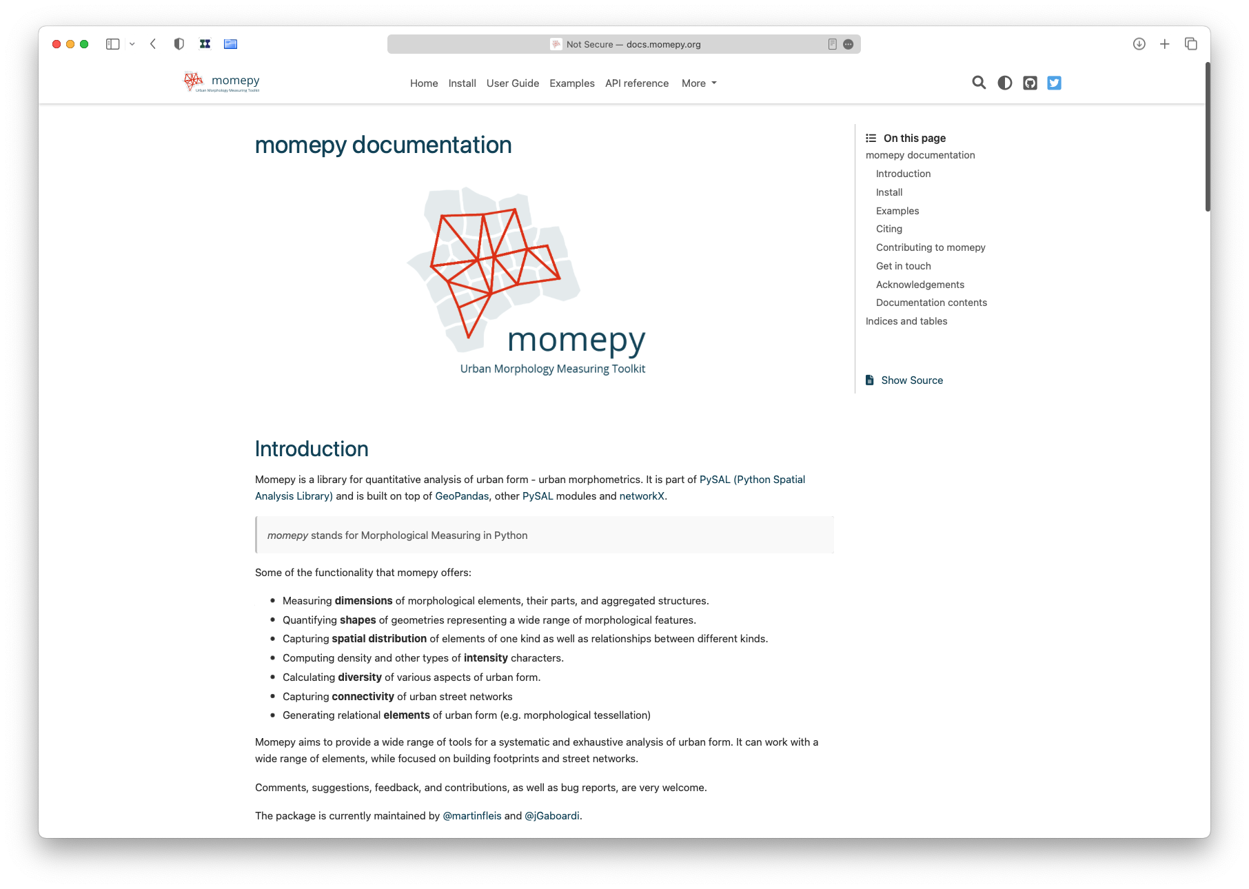

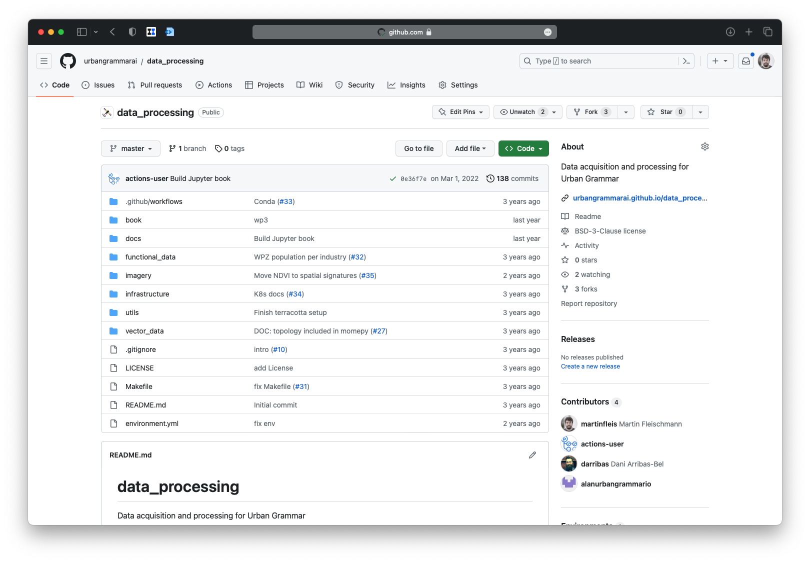
In 2019, I have joined the development team of the GeoPandas project.
GeoPandas is the core package in the Python ecosystem for spatial data science.
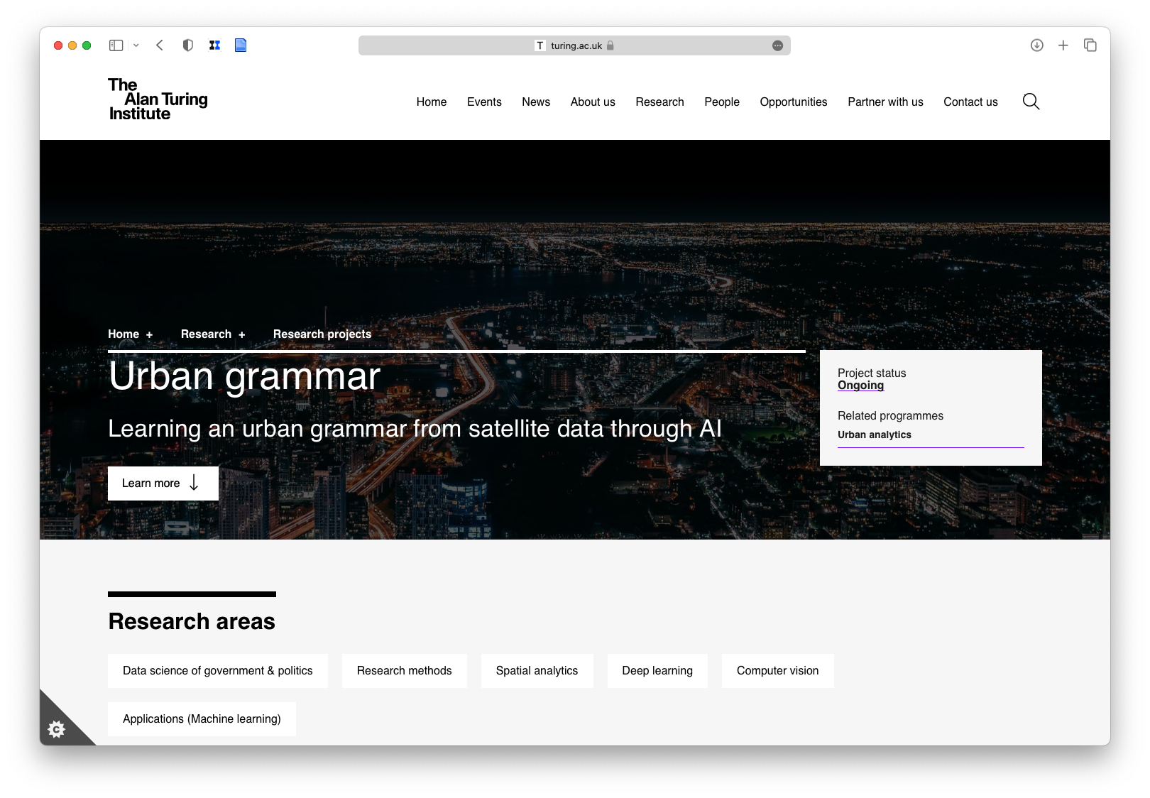
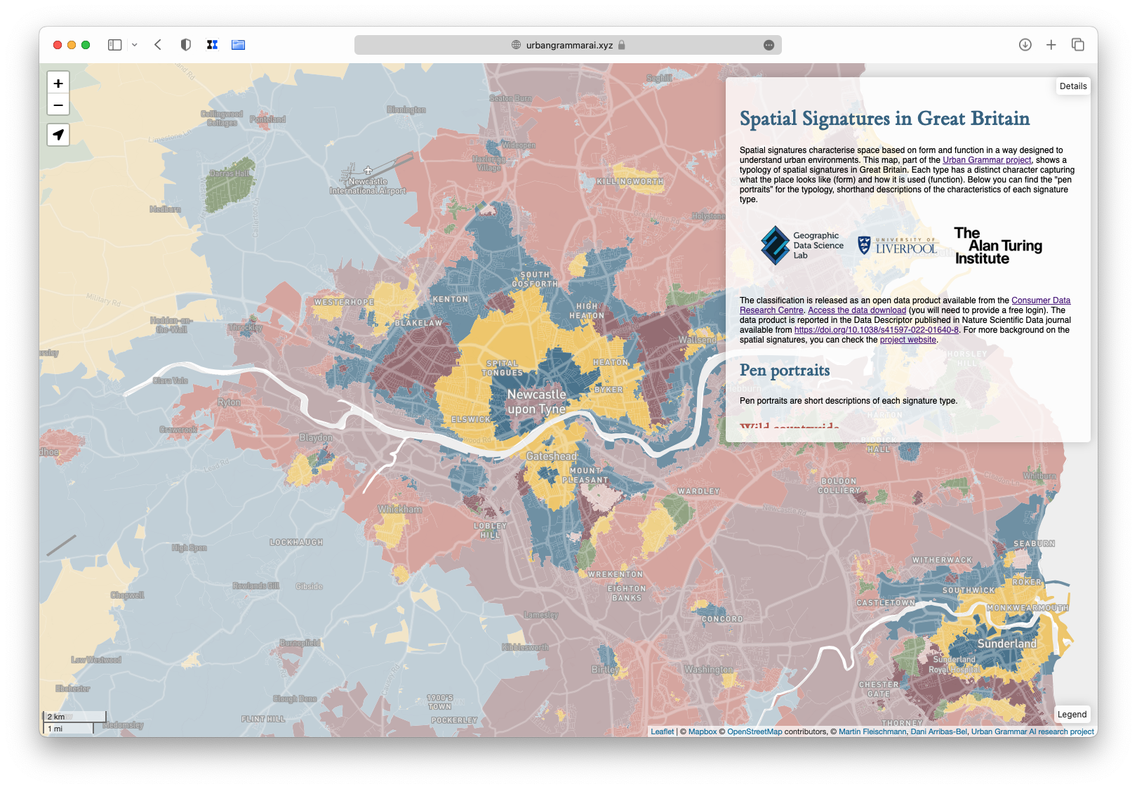
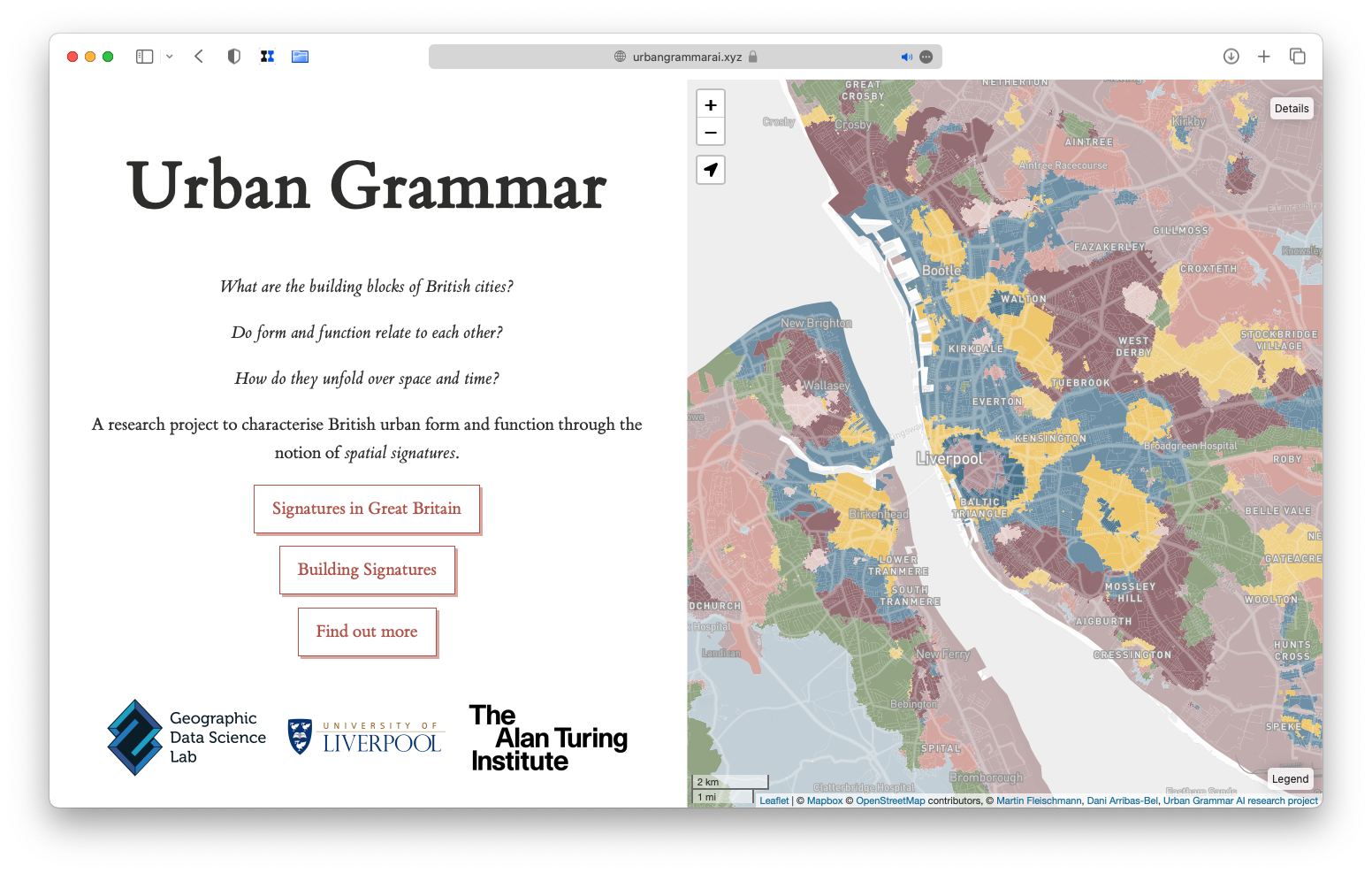
Geographical characterisation of British urban form and function using the spatial signatures framework
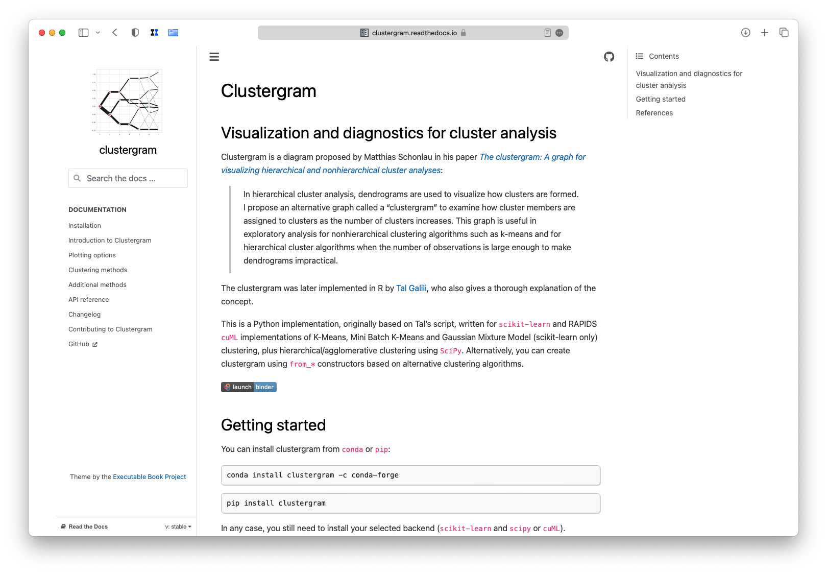
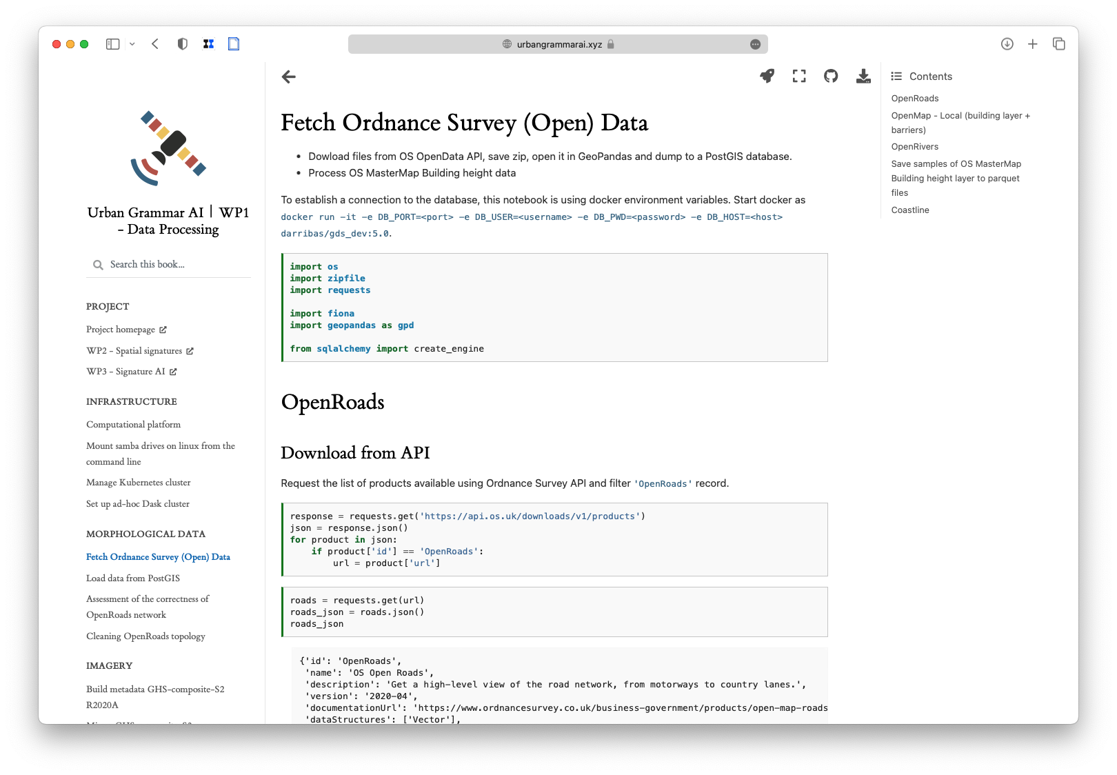
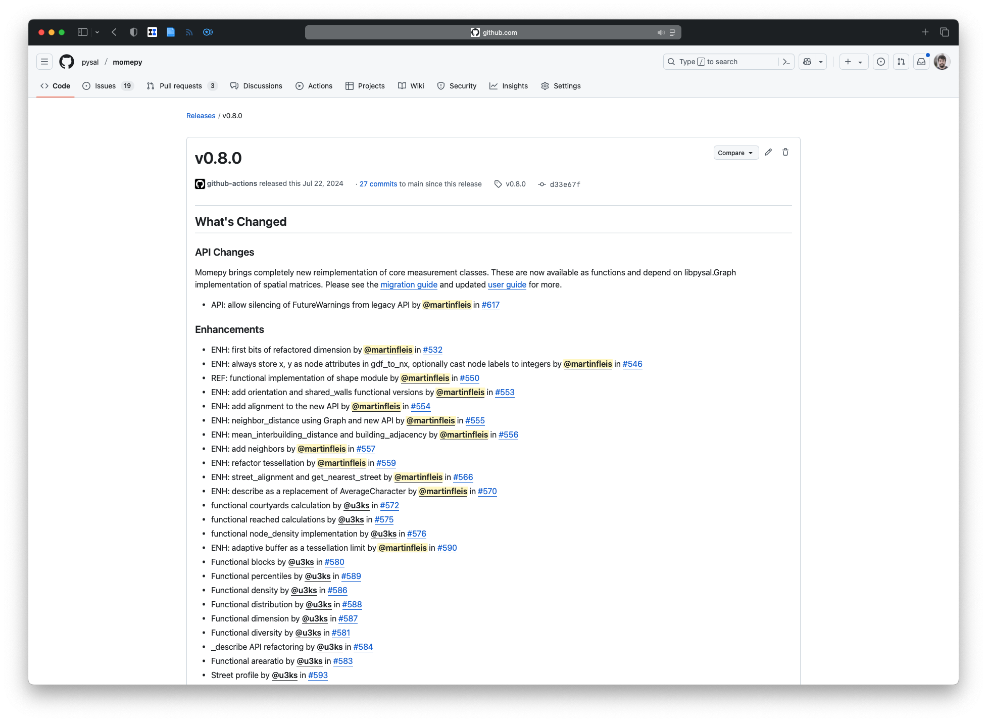
We had to scale up the analysis but tools were not ready. So, we improved the tools.

And created some new.
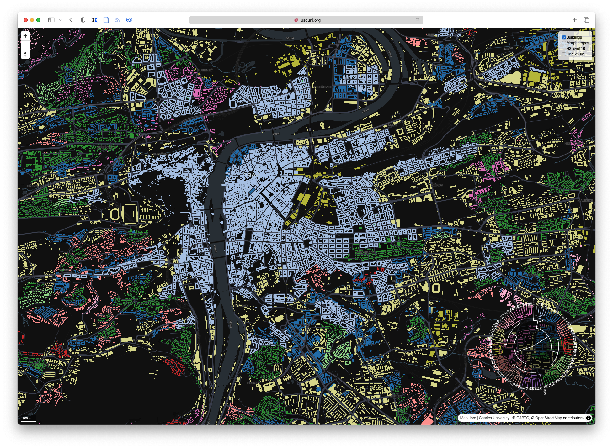
Understanding Urban Form - Hierarchical Morphotope Classification based on Gradually Loosening Spatial Restrictions
entering WIP zone
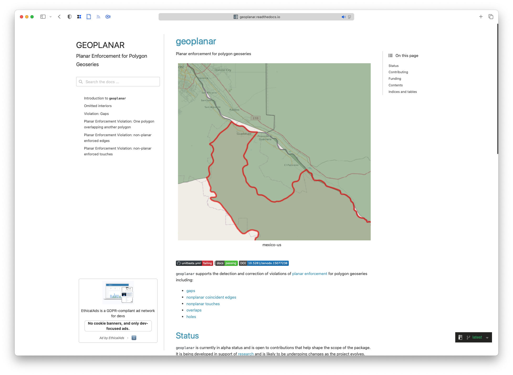
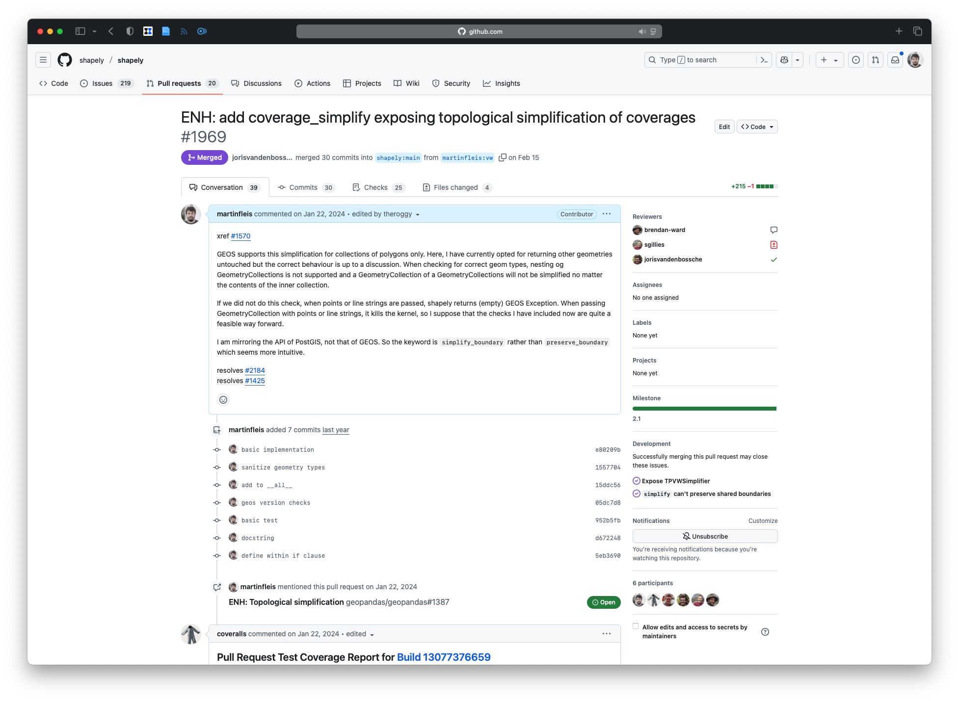
Some unresolved needs were left out in previous research. So we fixed them in existing and new tools
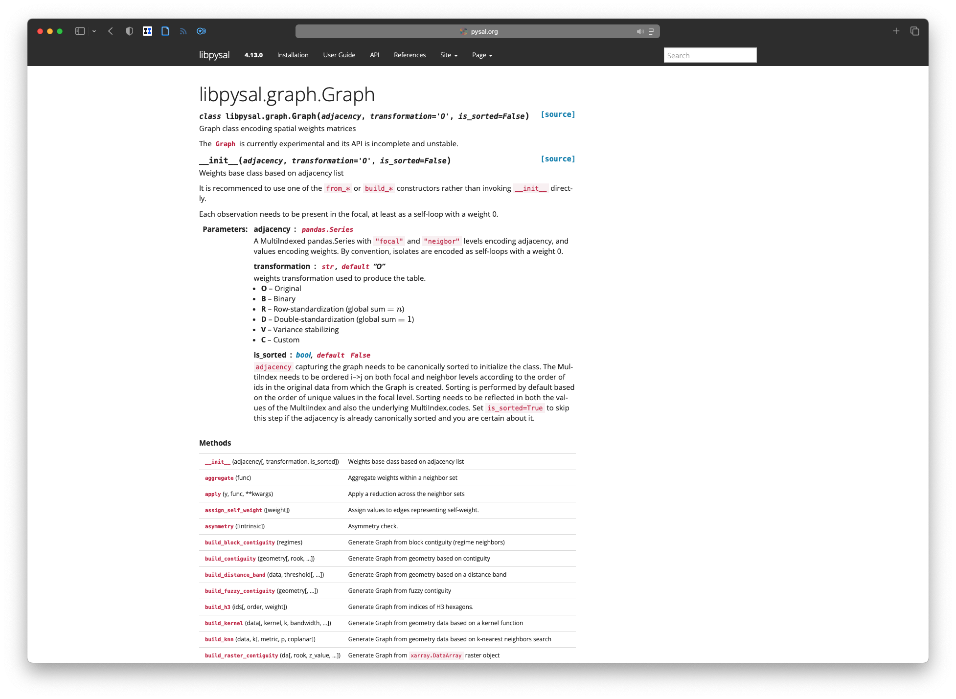

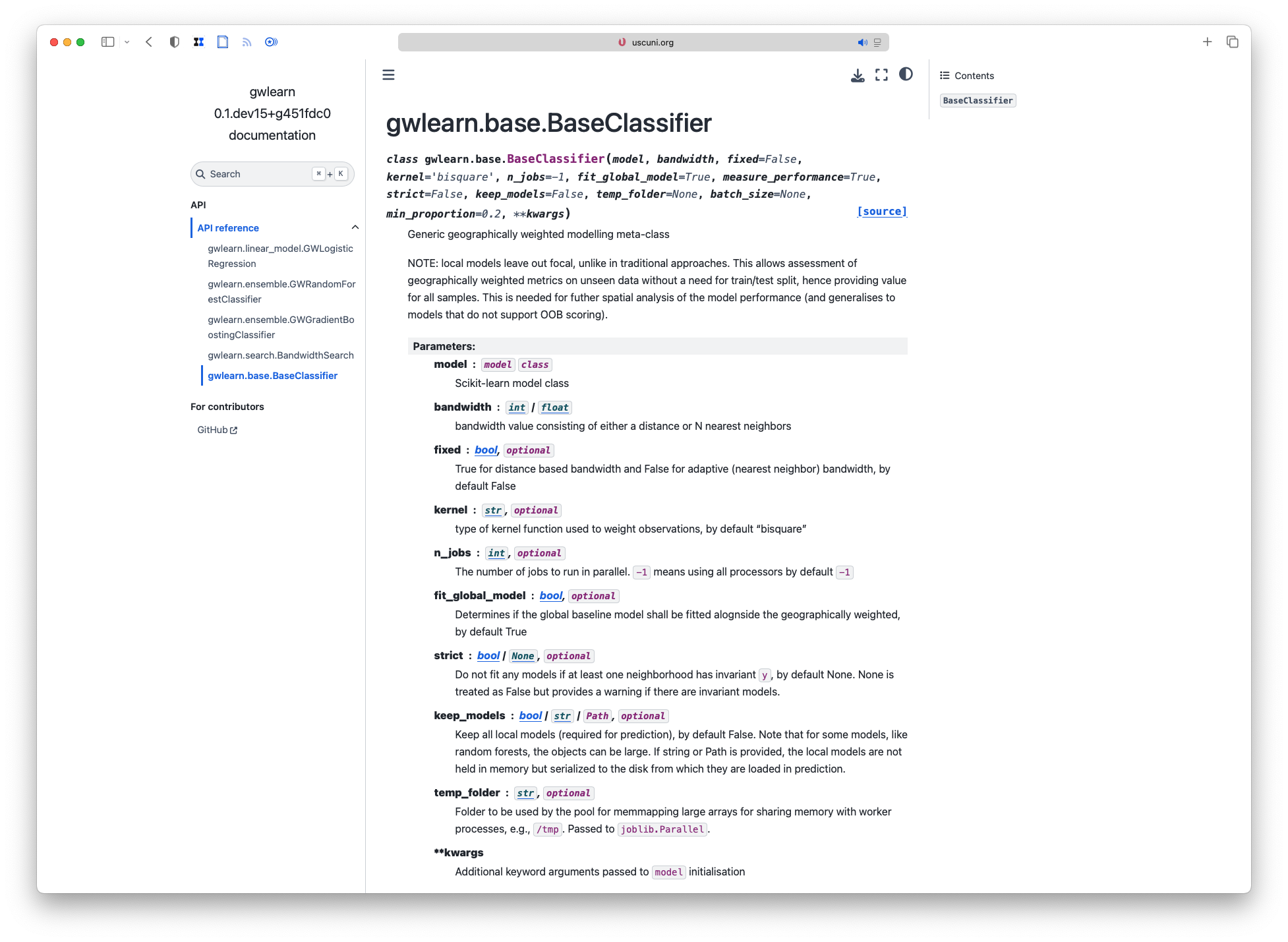
Generic framework for geographically-weighted modelling
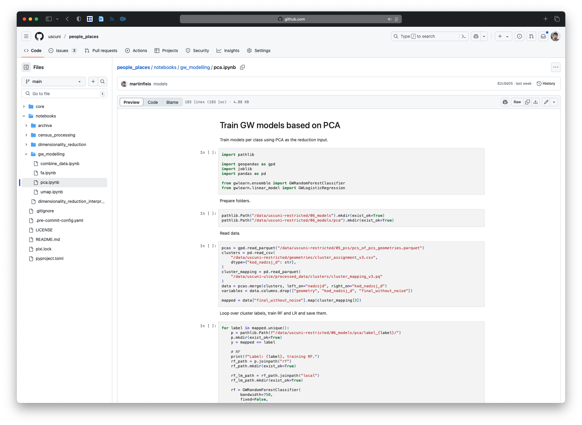
What about openness and transparency when using restricted data?
Infrastructure
Ensure others can use the same
Reproducible environments
Containers / lock-files
Data
Standard (formats) better than niche
Open better than proprietary
Static better than database
The takeaway
Release early, release often
Make open a feature, not a bug
Do what is best, not what system wants
Share your knowledge, it is a way to achieve immortality
(Dalai Lama)
![]()