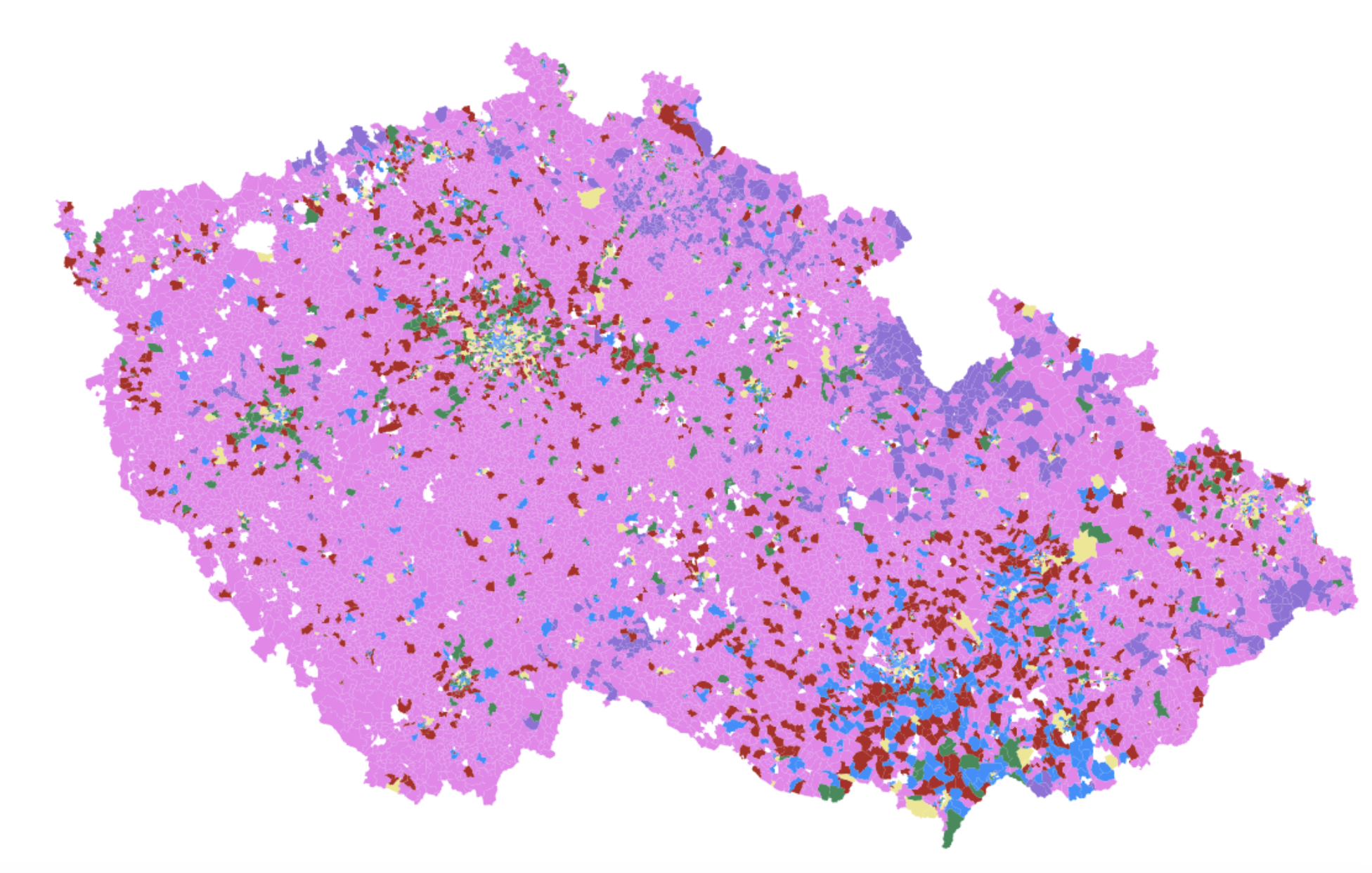
Morphometric classification
Quantitative identification of urban form types.
Based on similar morphological characteristics shared by street segments and building footprints.
Focuses on geometry and spatial configuration within the urban fabric.
Level 3 of the classification - 6 main types in Czechia
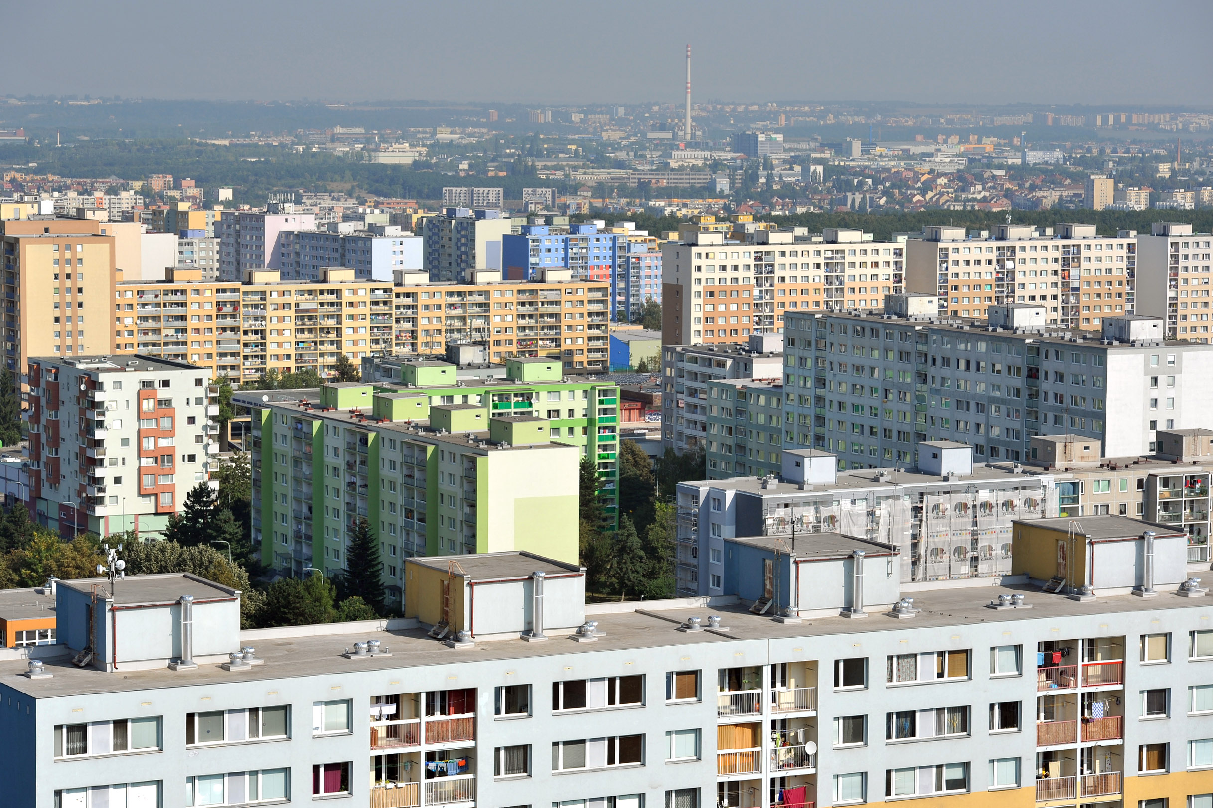
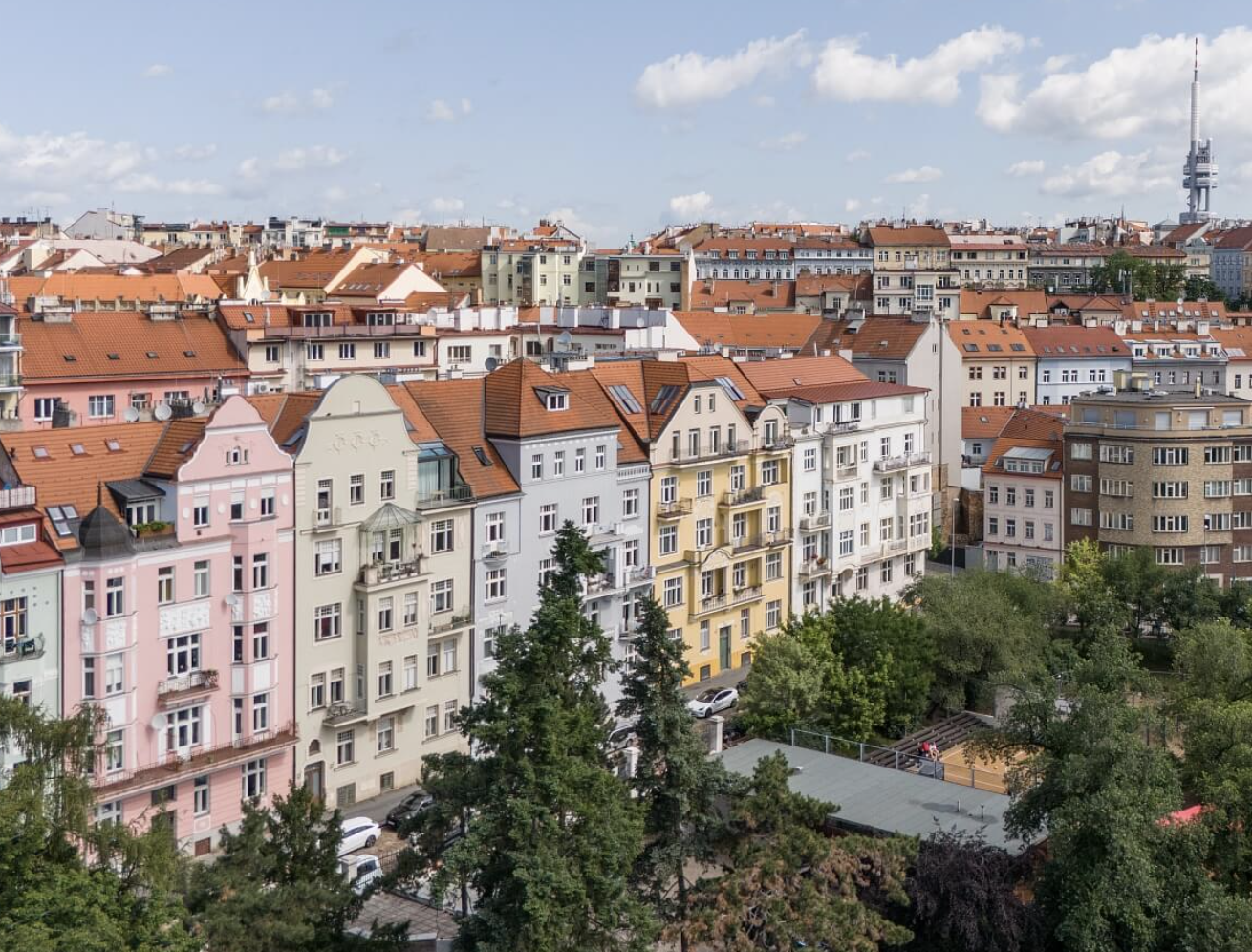
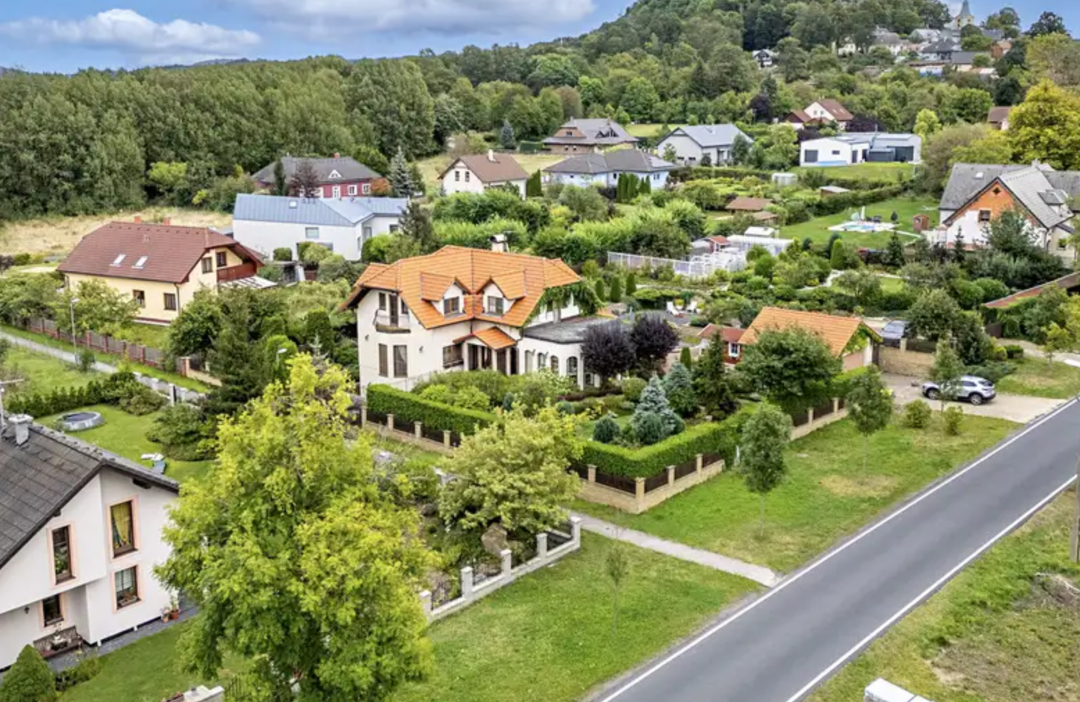
Central Urban Developments
![]()
Dense Urban Developments
![]()
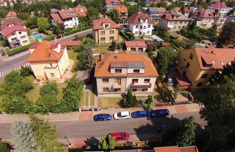
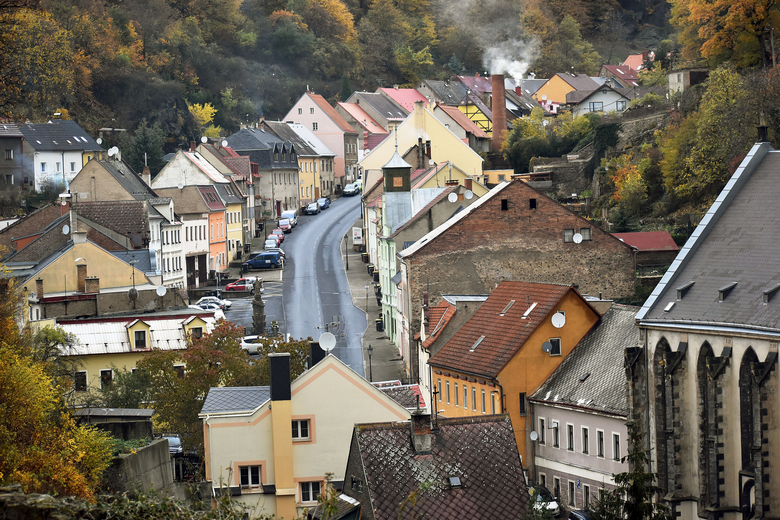
Street-aligned Developments
![]()
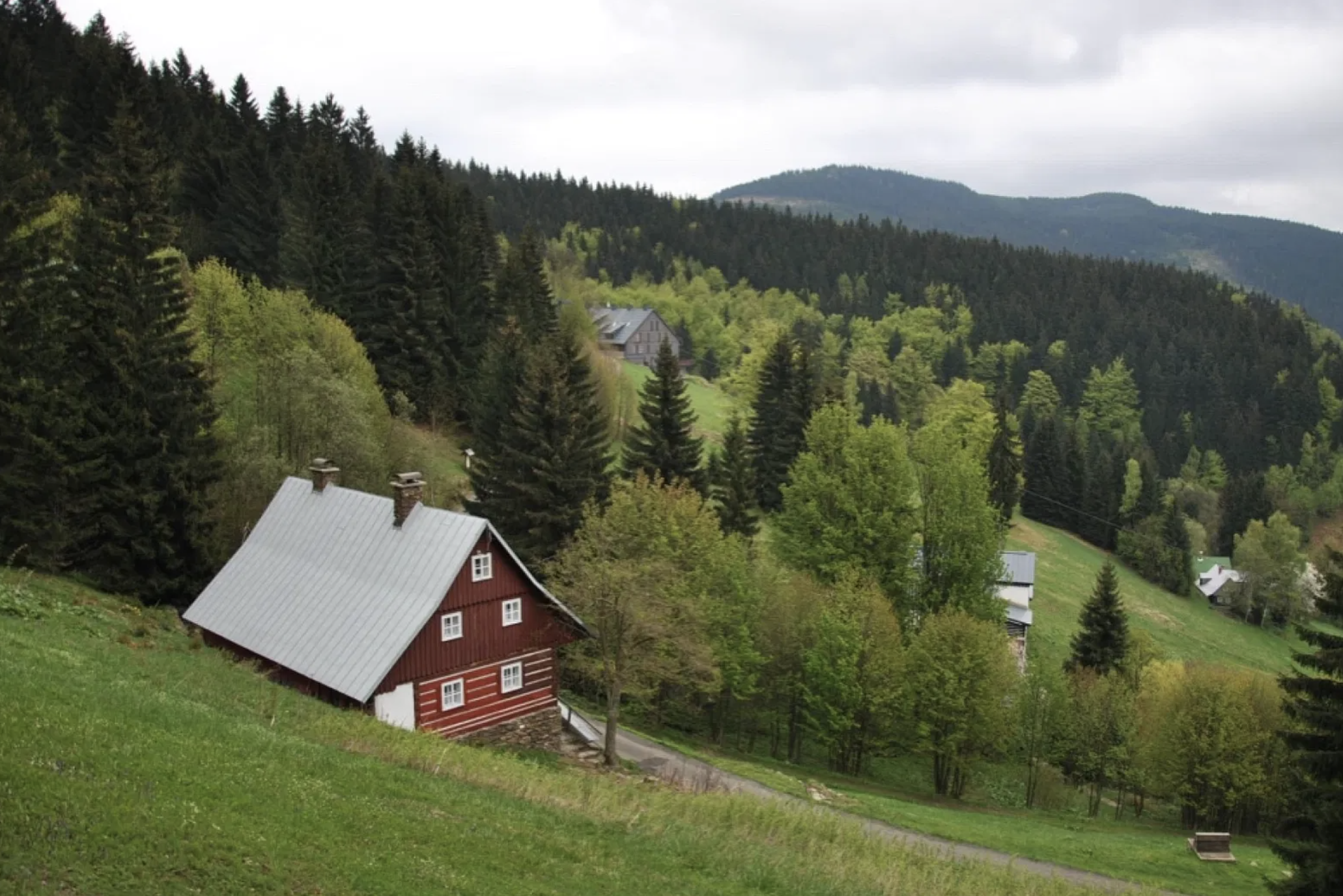
Sparse Rural Developments
![]()
Sparse Road Network Developments
![]()
Large Scale Developments
![]()
Census variables
Age structure
Education
Economic activity
Employment type
Marital status
Households
Religion
Nationality
Residence
Property ownership
Spatial relationship
Who lives in different types of the urban form?
Is there a specific relationship between a group of people and an urban form type?
Does it differ across the country?
How to asses this relationship?
Census processing
800+ variables
Variable selection - no leakage, no nested variables, repetition etc.
Data normalization and standardization
Dimensionality reduction
Dimesionality reduction
Principal Component Analysis
Factor Analysis
Uniform Manifold Approximation and Projection
Geographically weighted modelling
Global models assume the same relationship between predictors and target classes across the entire dataset
They do not account for the geographic variation in the relationship
Geographically weighted models capture this by applying local models rather than a single global model.
Geographically weighted classification
Similar in concept to Geographically Weighted Regression (GWR).
Categorical or class-based outcomes.
Separate classifier for each location using data weighted by geographic proximity.
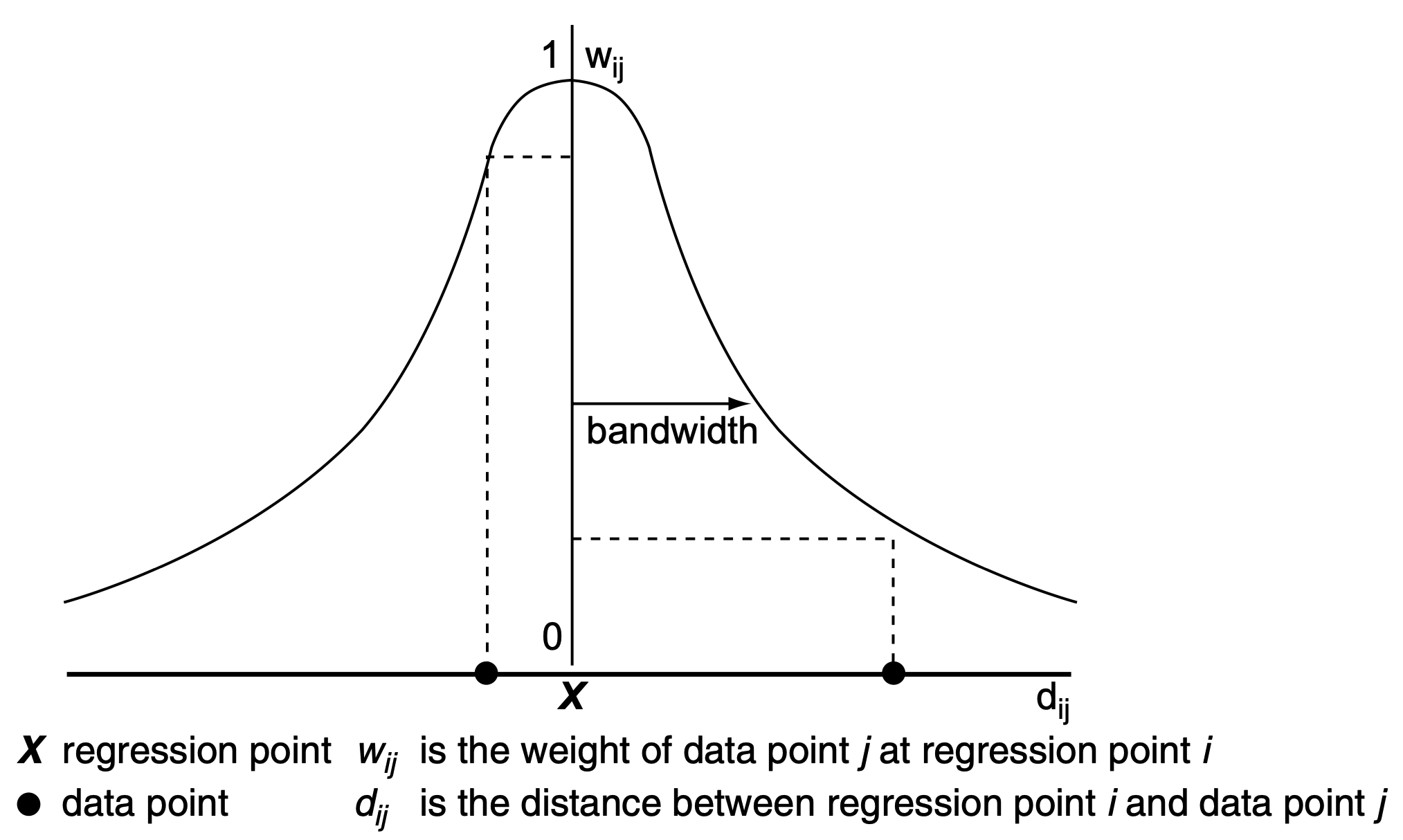
Weighting
Controlled by a distance-decay parameter.
Nearby observations are given more weight than distant ones.
![]()
Illustration of bandwidth and its relation to weight, Fotheringham et al. (2002, 44–45)
Bandwidth
Controls the spatial scale over which a process varies.
![]()
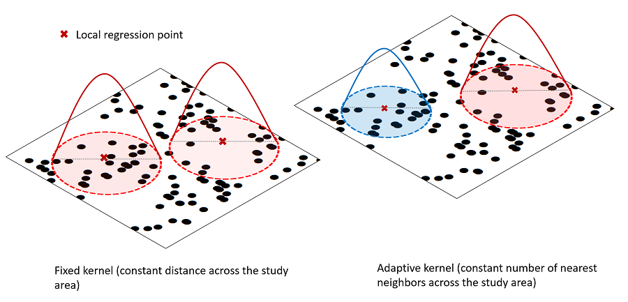
Conceptual diagram explaining fixed (left) and adaptive weighting (right) schemes. Sachdeva, M., & Fotheringham, A. S. (2020)
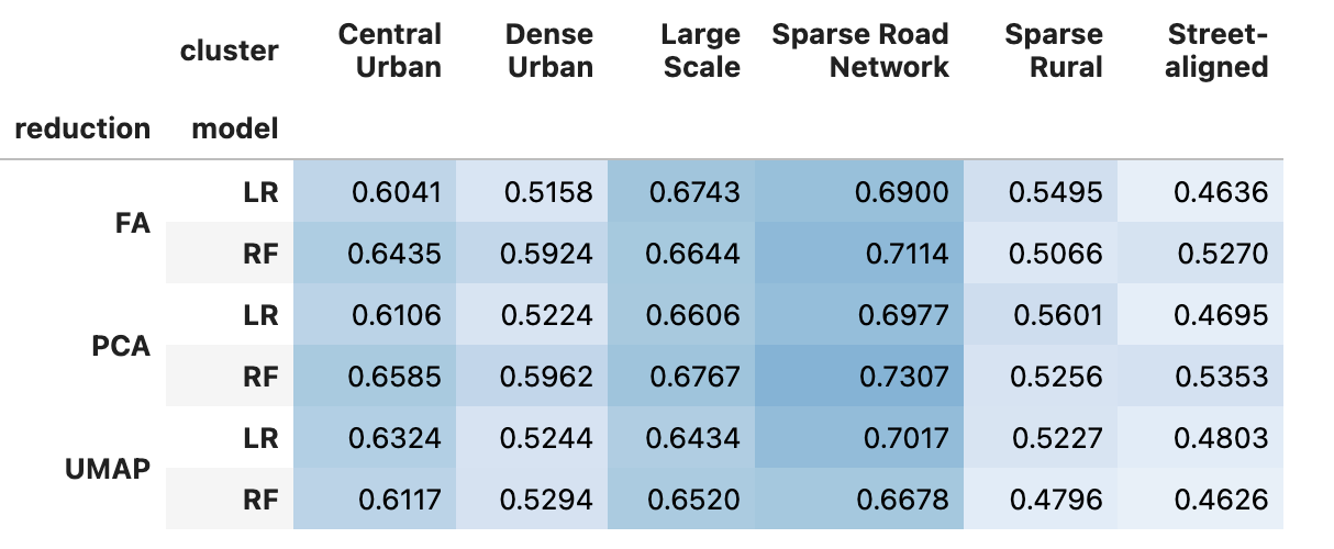
Modelling
Outputs from dimensionality reduction → Geographically weighted models
Logistic Regression & Random Forest Classification
Binary Classification
The distribution of urban form classes is uneven across space.
Some urban forms do not appear in certain locations at all.
Each model can be tuned to local prevalence and have custom thresholds, weights, bandwidth…
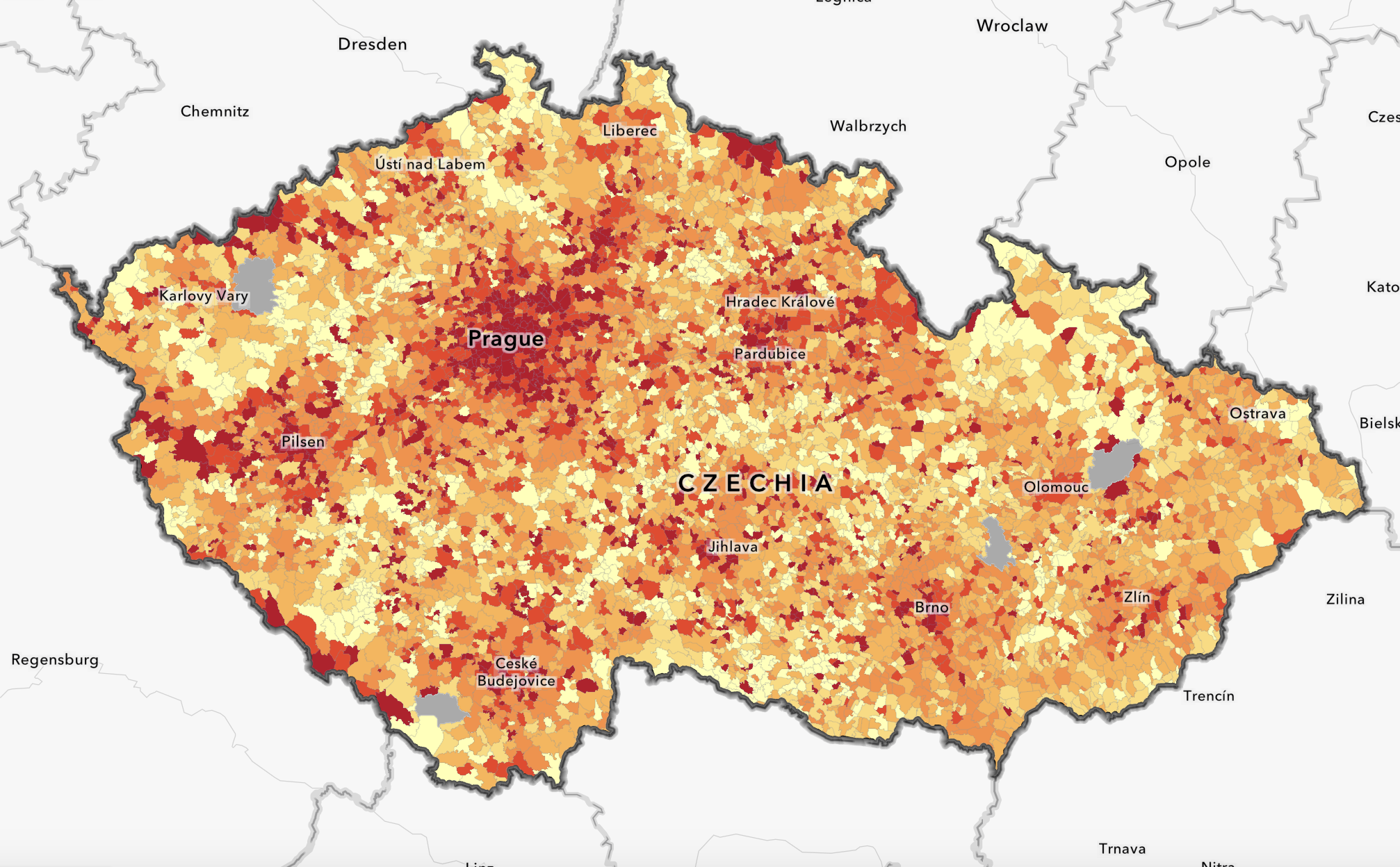
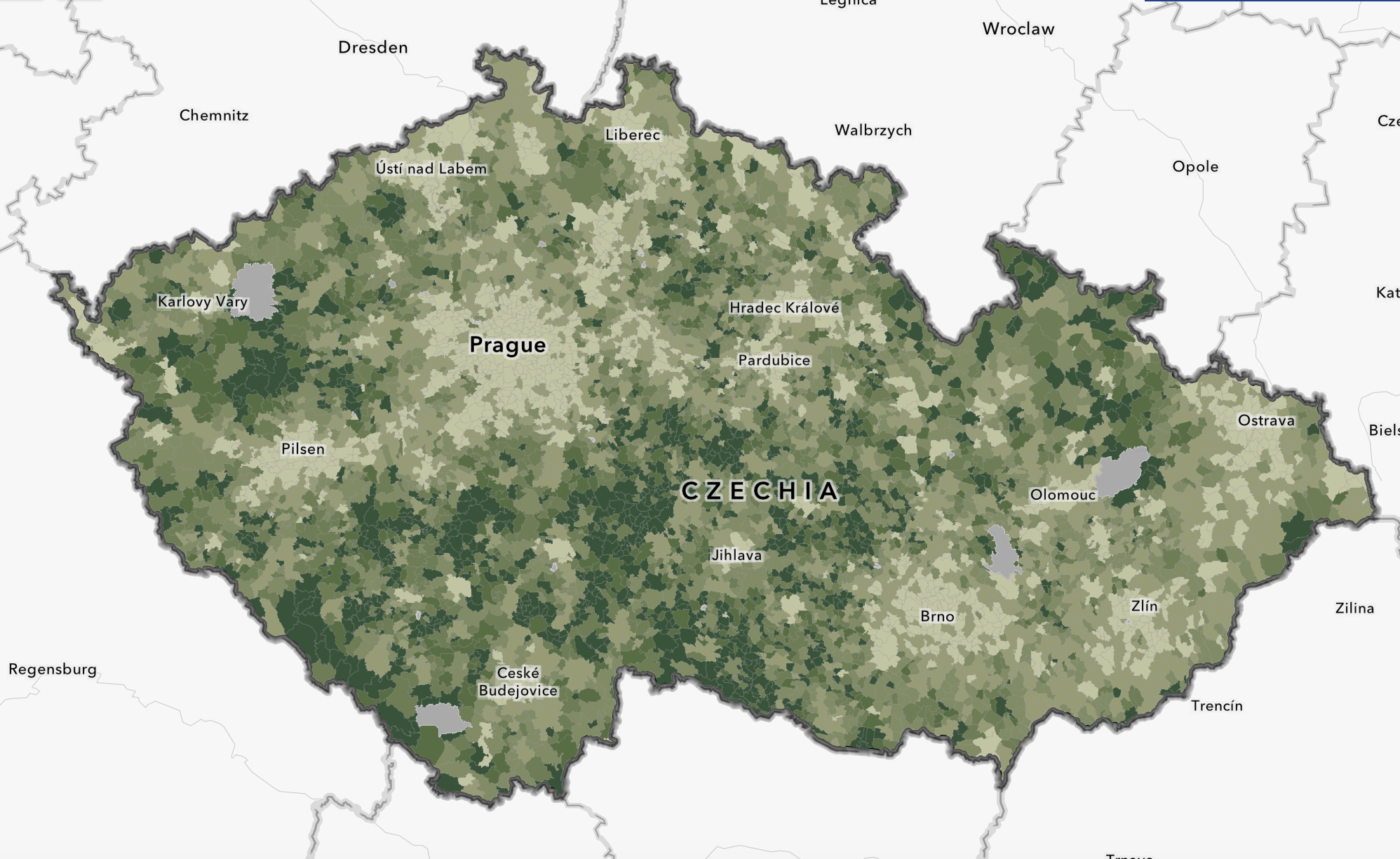
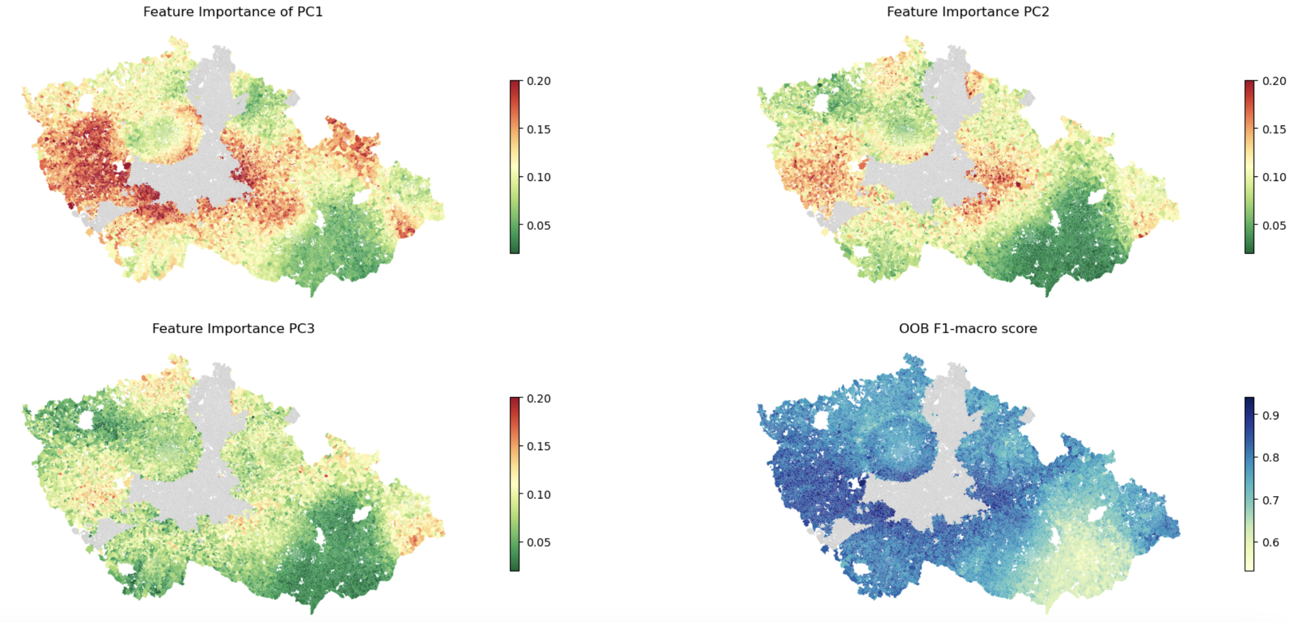
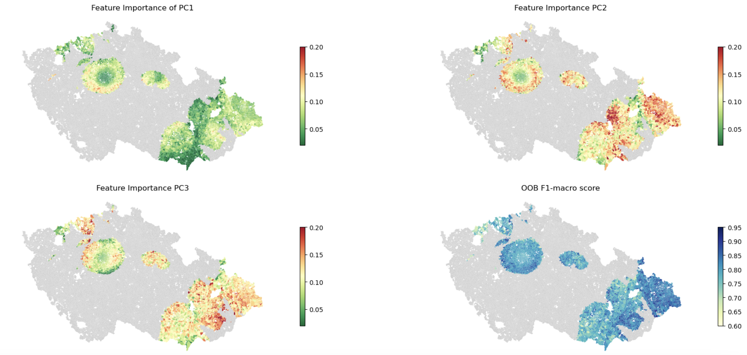
Results
![]()
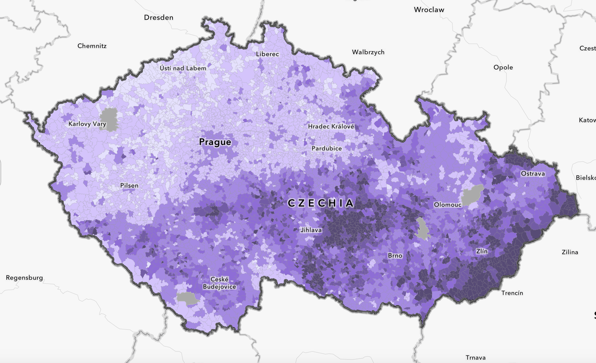
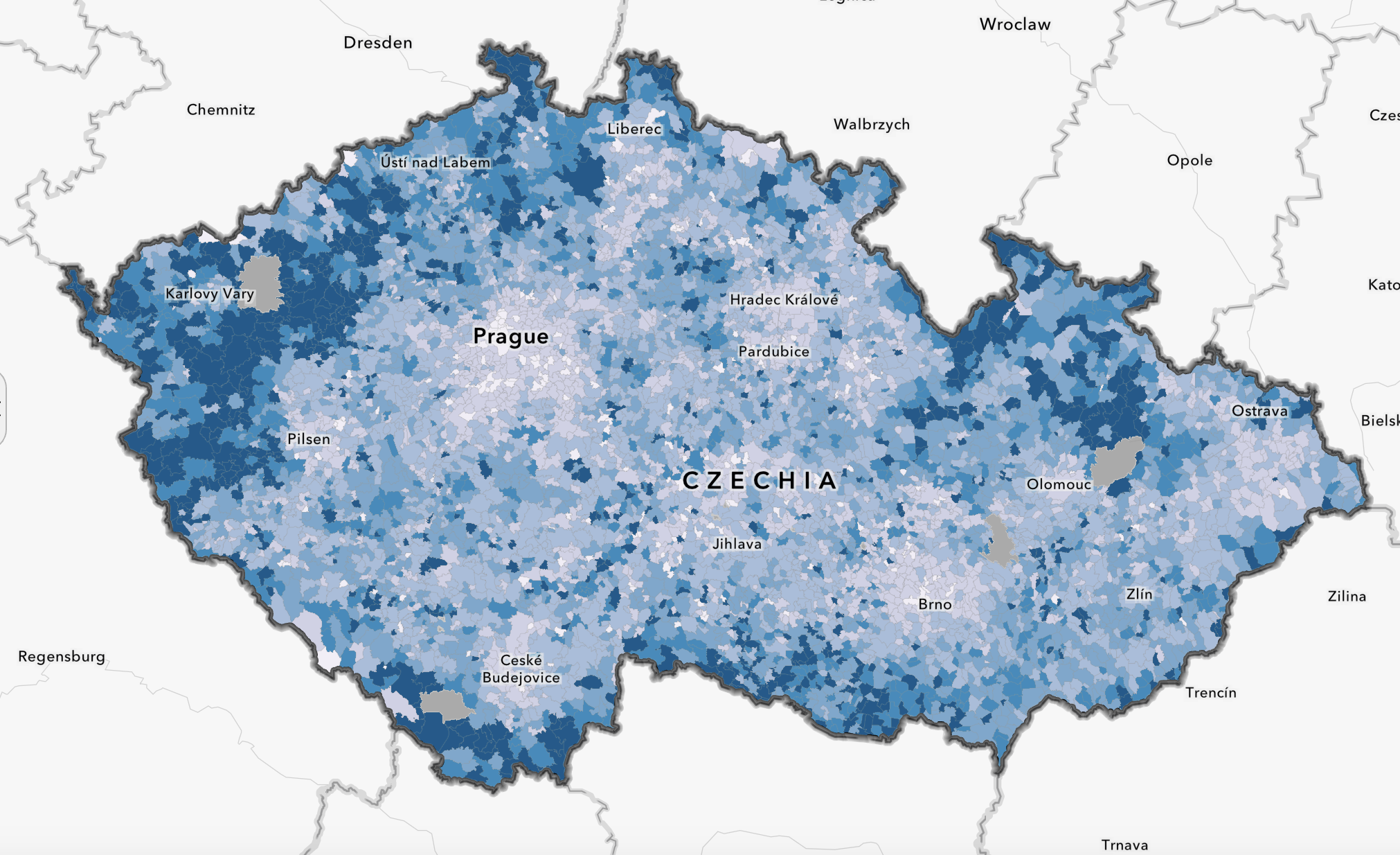
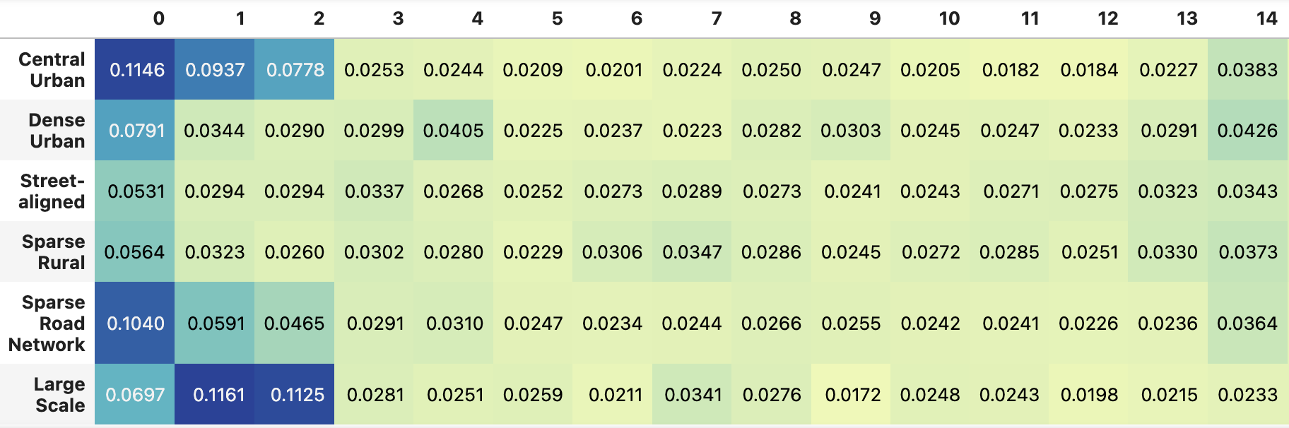
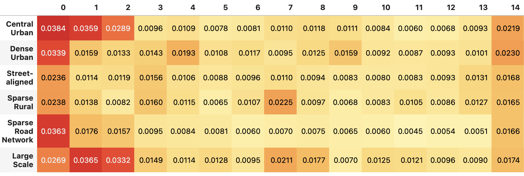
Principal Components
Economic activity of the population
Property ownership, family household with children
Czech nationality and permanent residency
Conclusion
Relationship does differ geographically.
Specific relationship between population characteristics and urban form types.
Dimensionality reduction or cluster analysis?
Work still in progress, would appreciate some feedback!