Understanding Urban Form
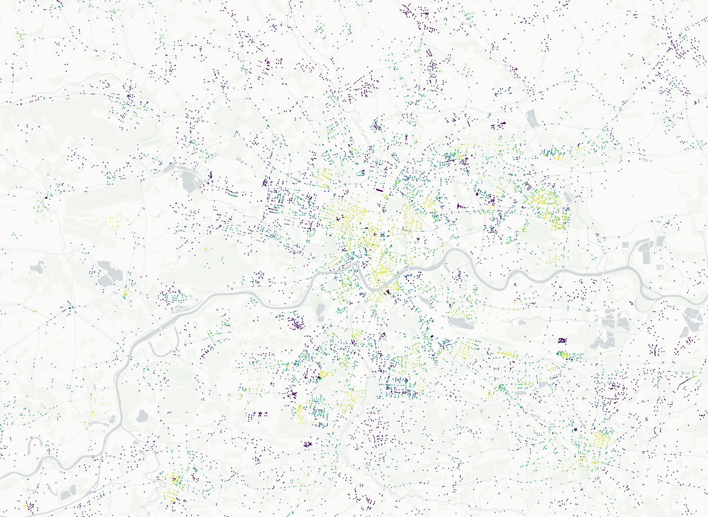
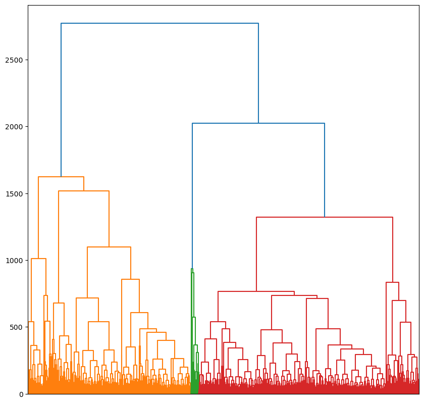
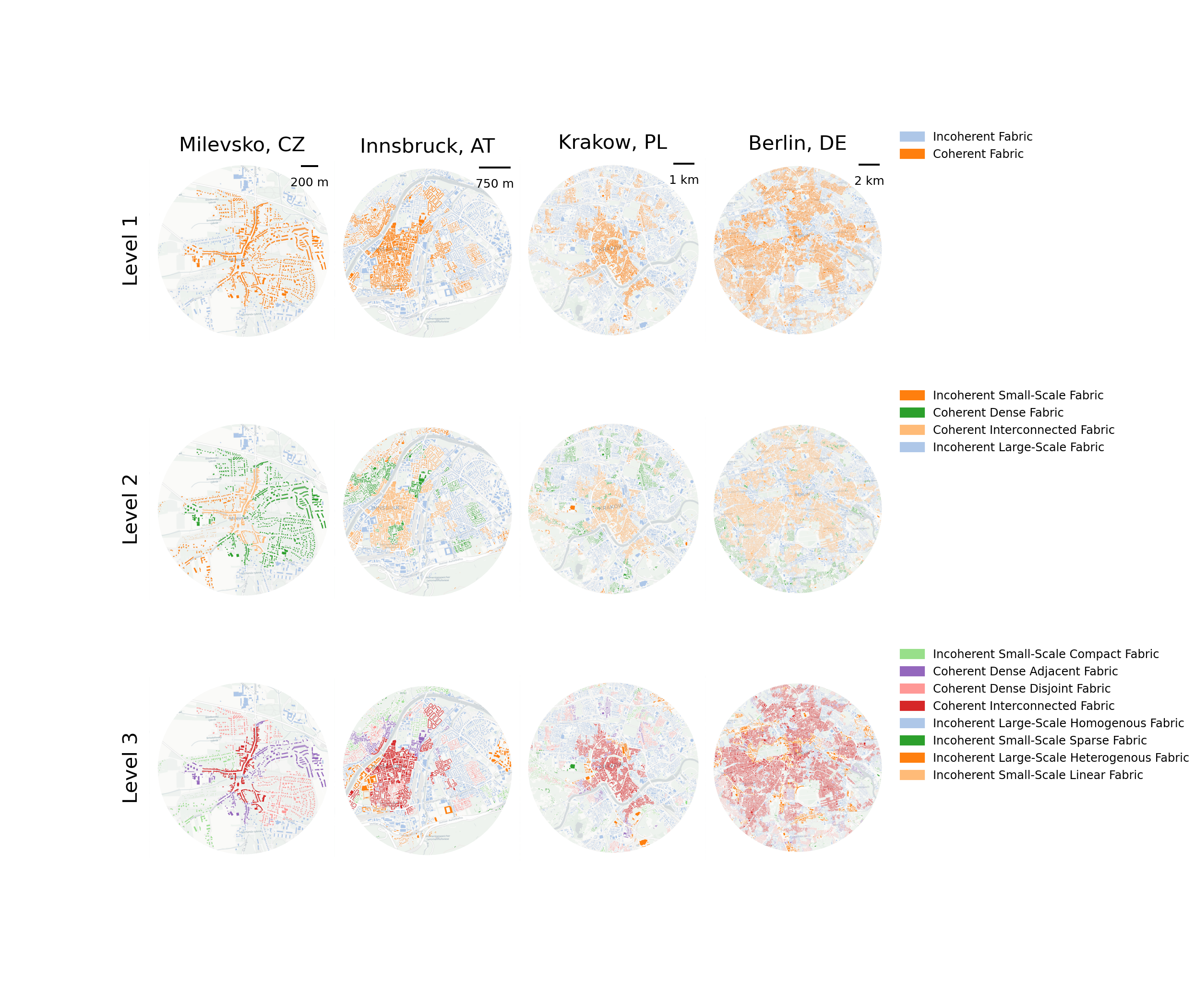
Hierarchical Morphotope Classification
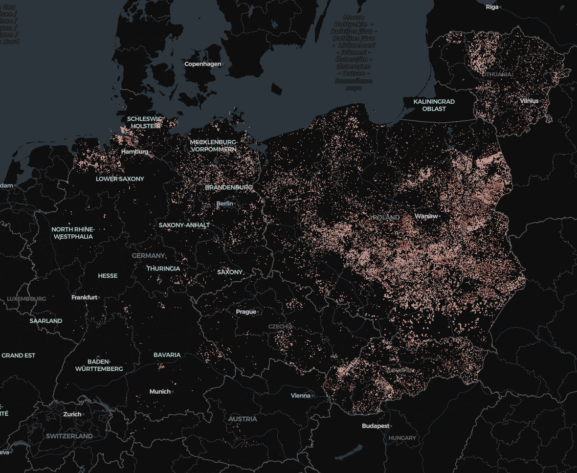
Study area - Central Europe*
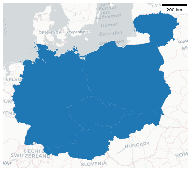
Germany, Czechia, Austria, Slovakia, Poland, Lithuania
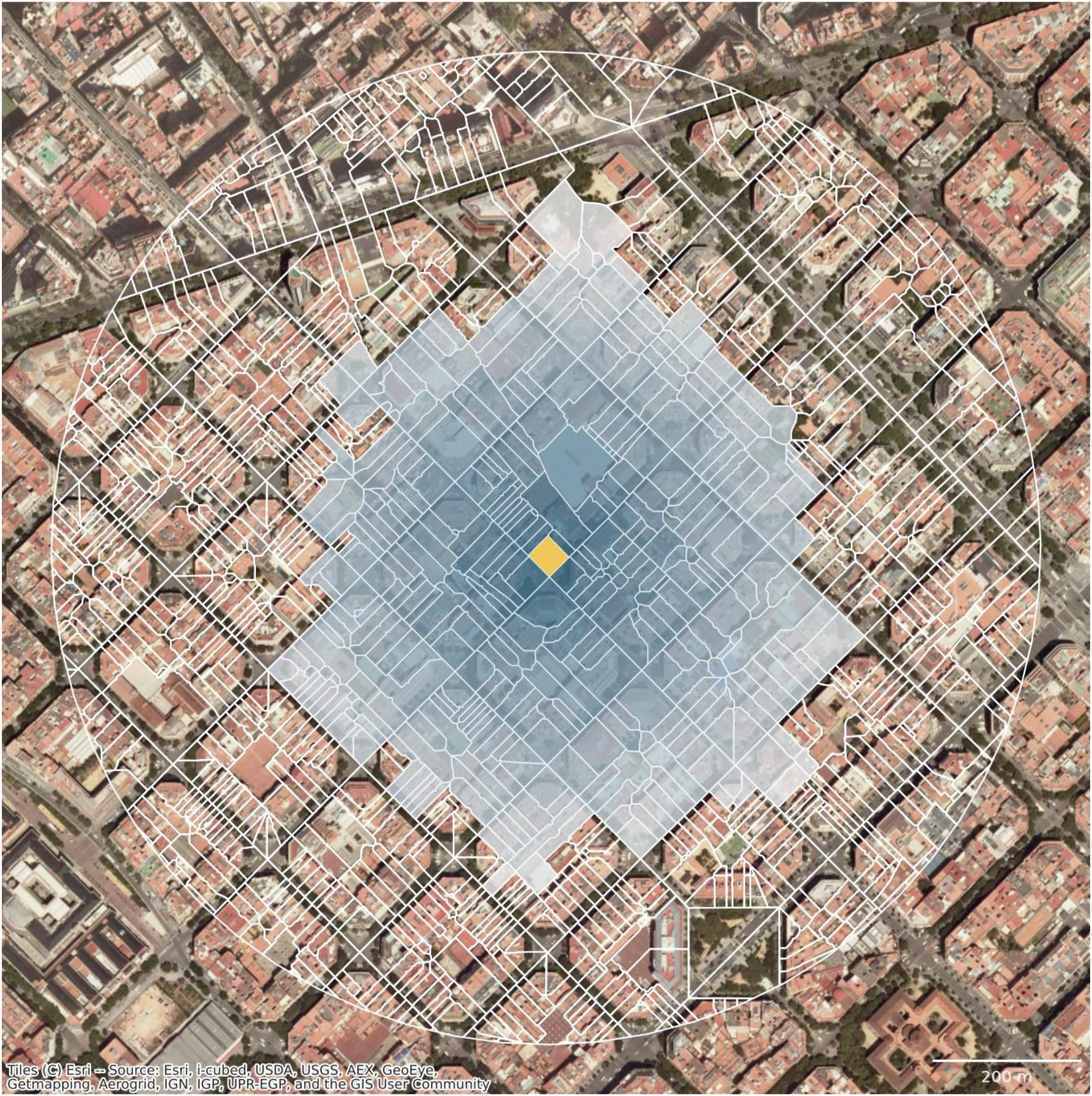
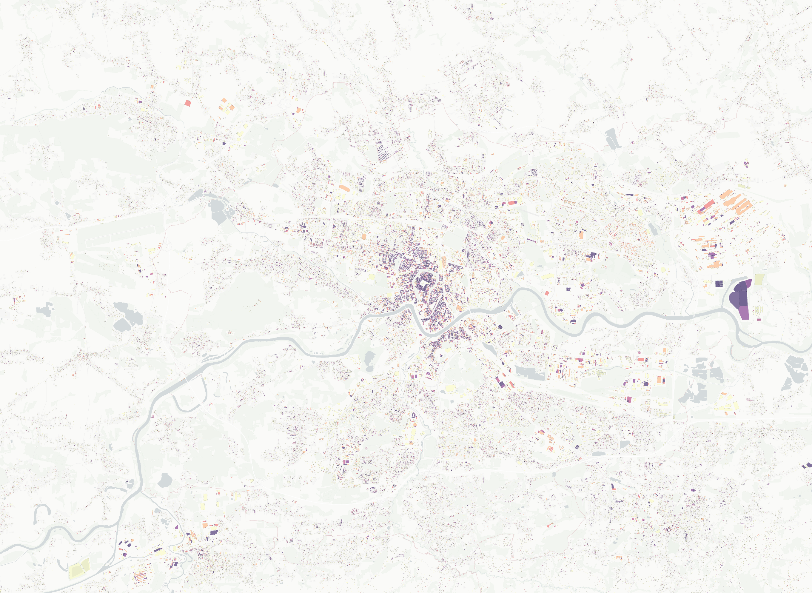
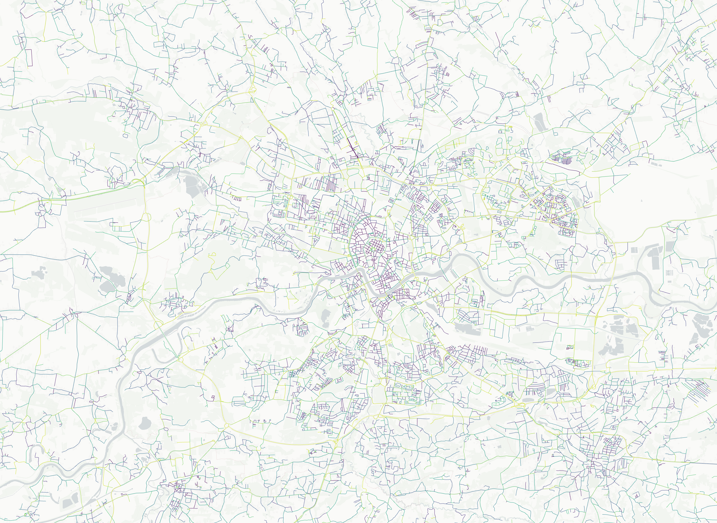
Enclosed Tessellation Cells
Regions
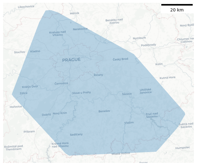
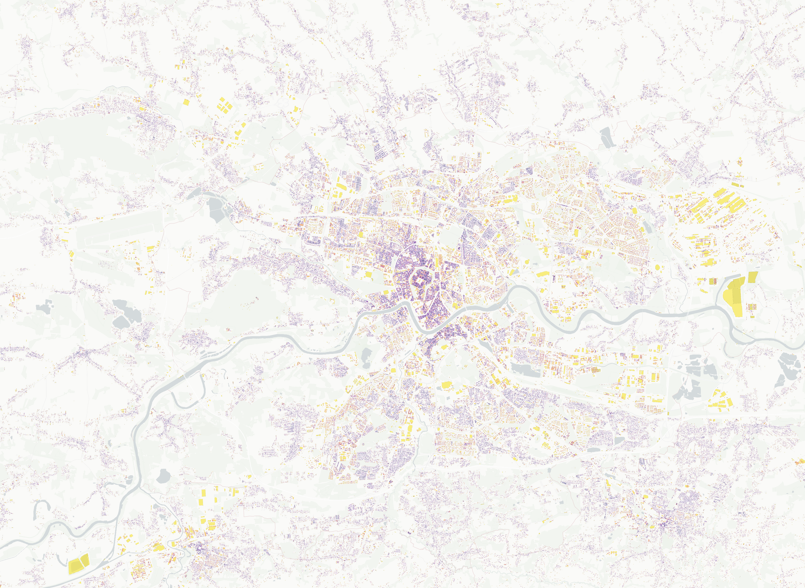
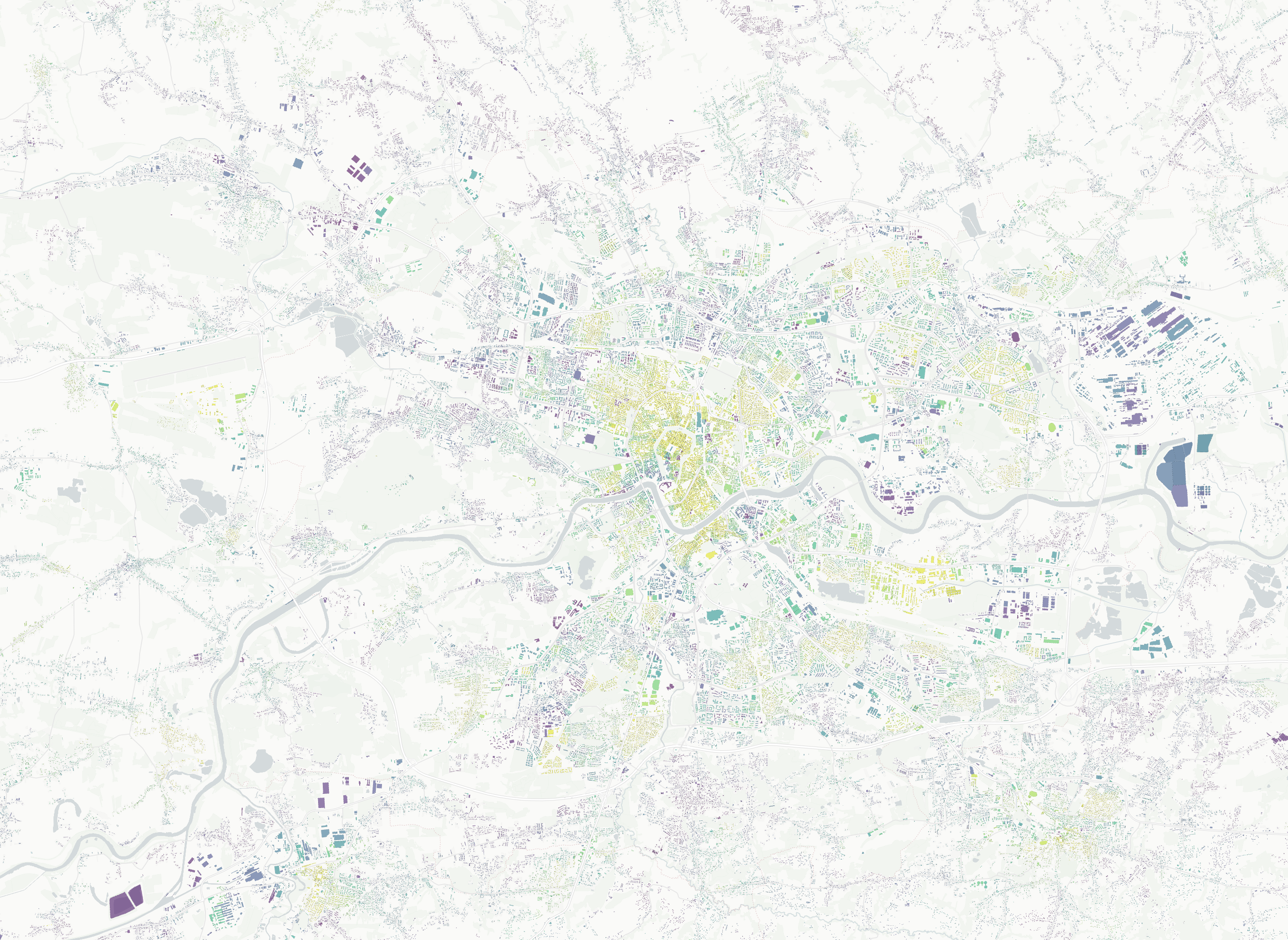
Region around Prague
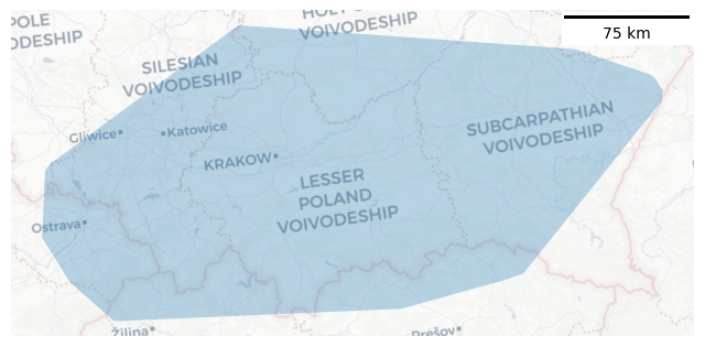
Region around Krakow
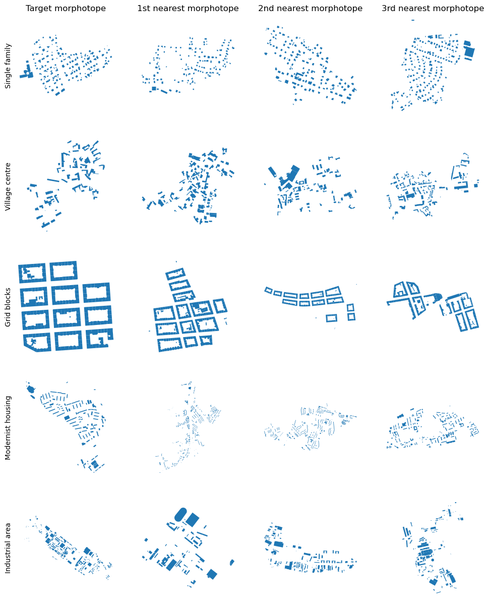
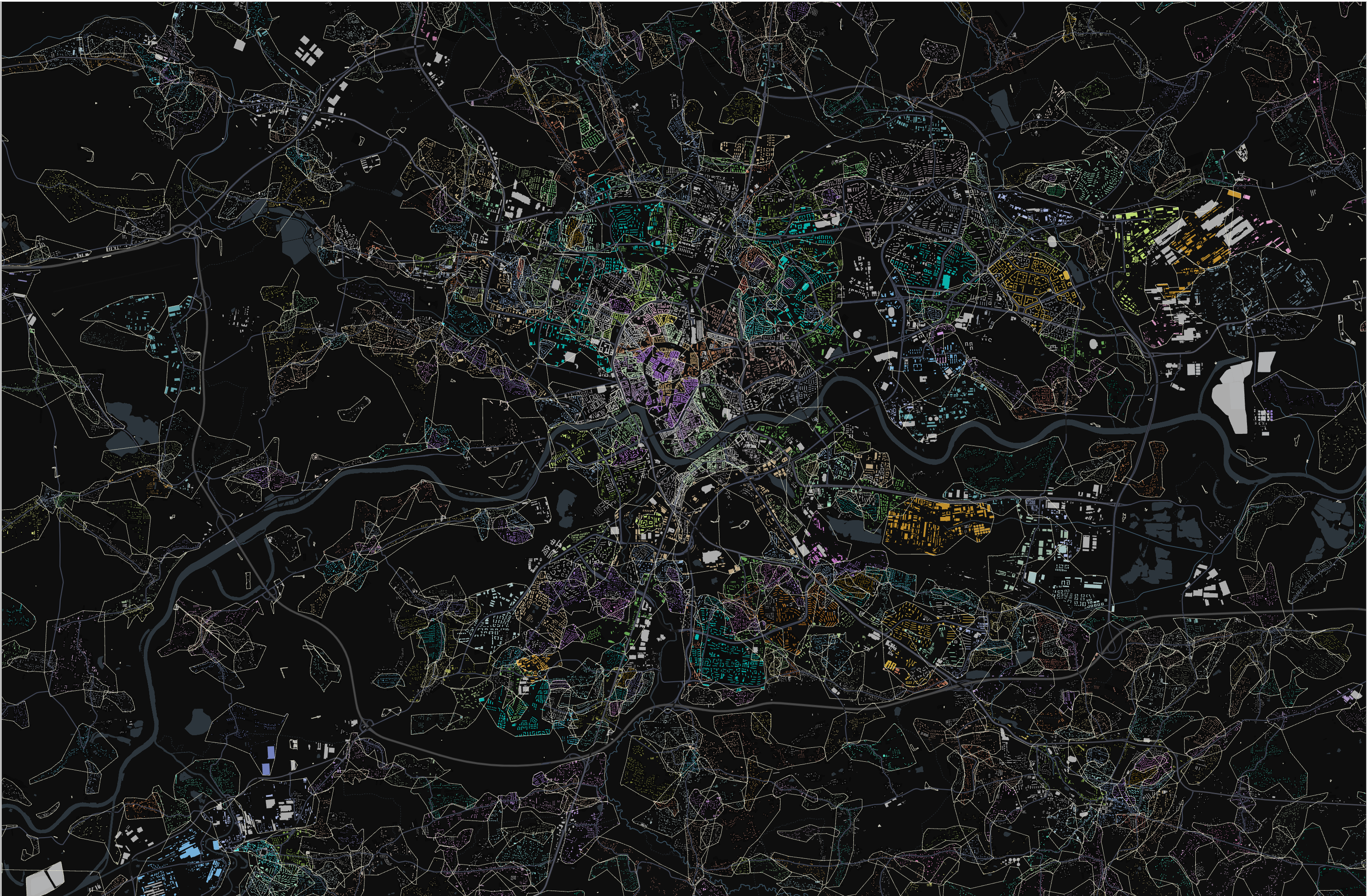
Taxonomy of morphotopes
Linear development concentration
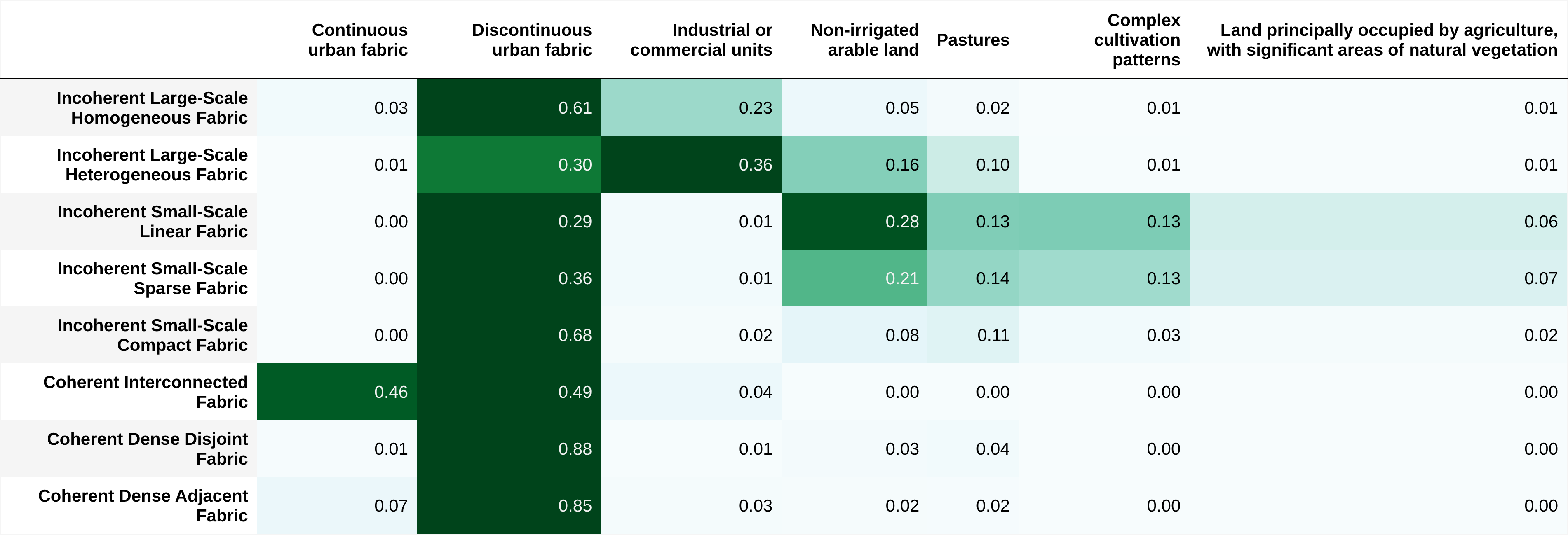
Corine
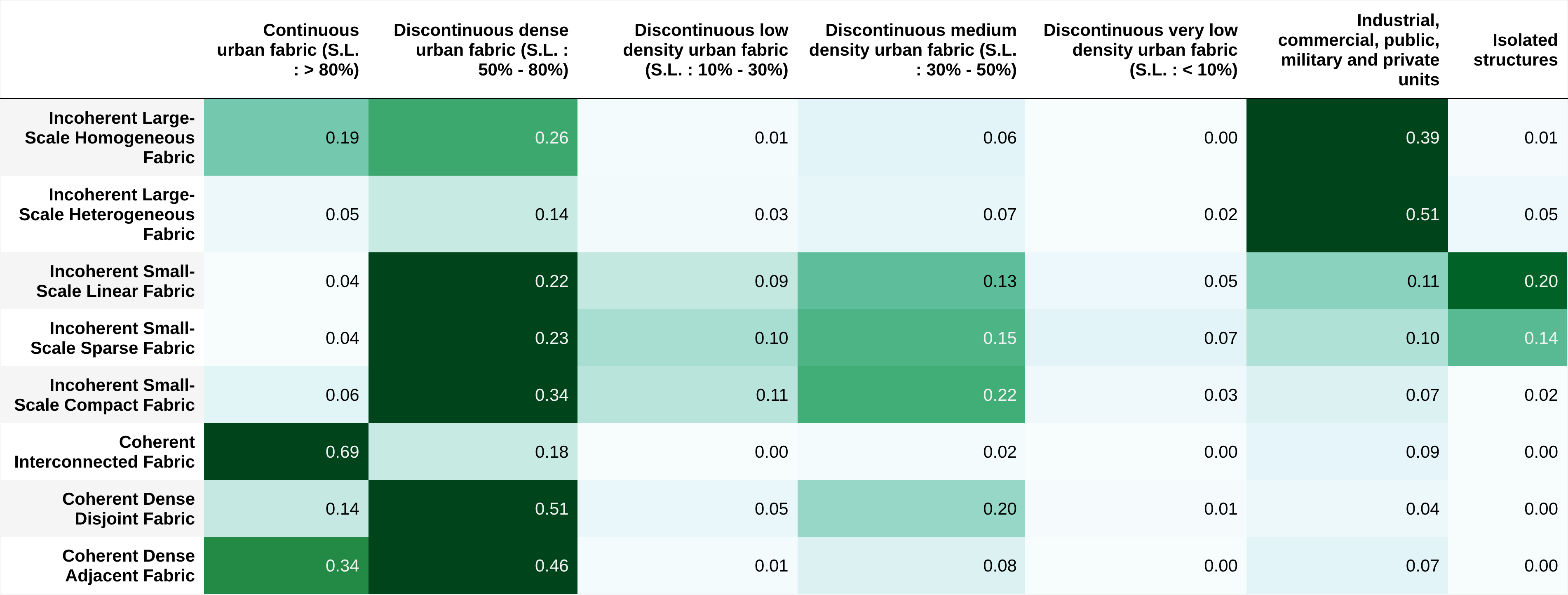
Urban Atlas
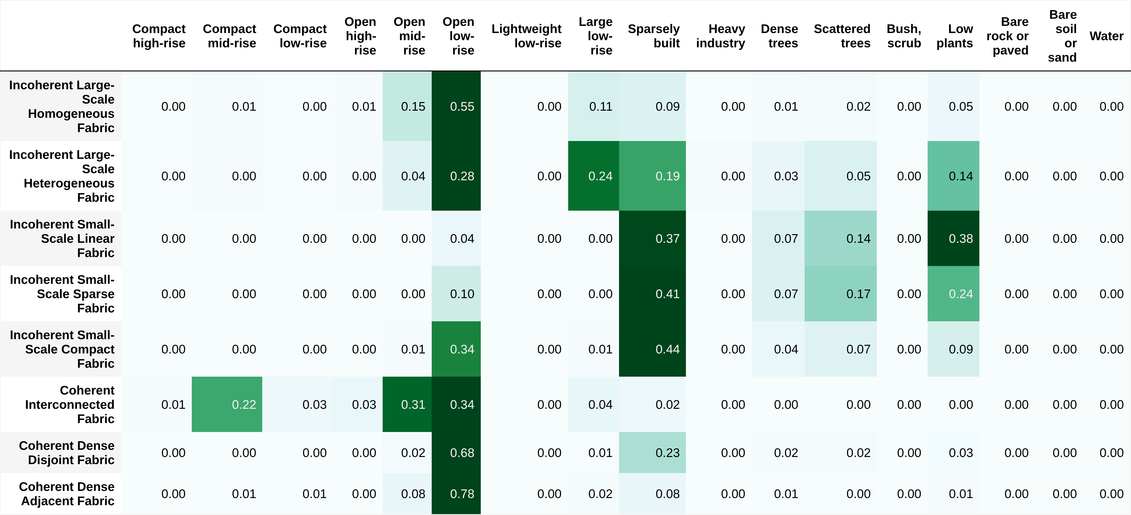
Local climate zones